
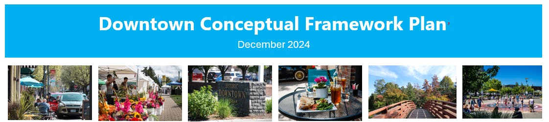
Downtown Master Plan Concept
Thank you to everyone that participated! This project is now closed.
Community feedback was utilized to shape the future of Downtown Gresham!
This page remains as a full record of the process, documents, and community engagement that shaped the plan.
The Gresham Downtown Conceptual Framework Plan is now complete. This collaborative effort reflects more than a year of community conversations, staff coordination, and partner input. The final plan outlines a shared vision for Downtown Gresham as a vibrant, walkable neighborhood that connects key destinations, supports housing and economic vitality, and celebrates the city’s unique identity.
Your ideas and priorities helped define the goals and framework—identifying 13 core goals that guide future development and investment—ranging from placemaking and redevelopment to mobility, ecological health, and neighborhood connectivity. It will serve as a living guide for the City and its partners as future projects are explored and implemented.
Final Documents:
- Gresham Downtown Conceptual Framework Final Plan
- Gresham Downtown Conceptual Framework Plan Project Summary
What’s the Vision for Downtown Gresham?
Downtown Gresham is a walkable neighborhood that stitches together the historic main street and the transit centers; that features various scales of activated public open spaces, has a variety of housing options, and supports entertainment, community-focused commercial, and the entrepreneurial spirit.

Goals and Objectives
- Arts Walk - Connect Main Street, the Arts Plaza Park, and the TriMet Central Transit Center through an ‘Arts Walk’ that prioritizes ped/bike circulation, public art, branding, and wayfinding.
- Downtown Destination - Establish a local and regional downtown destination along Main Street through public realm enhancements and activation programming.
- Redevelopment Nodes - Facilitate ‘redevelopment villages’ along NW Eastman Parkway, around the TriMet Central Transit Center, and around the TriMet Cleveland Ave Station.
- Diverse Infill - Encourage diverse scales of housing and commercial infill.
- Maintain Main Street - Maintain Main Street historic character through intentional initiatives and/or relevant regulation (e.g., design guidelines). Extend the notion of Main Street from Division, across Powell, and into Main City Park.
- District Parking - Consolidate parking and utilize district parking strategies to unlock development sites.
- Downtown Branding Strategy - Enact a downtown branding strategy that enhances identity, culture, wayfinding, accessibility, and economic attractiveness.
- Bike/Pedestrian Links - Create direct links between the Wy’East Trail, Springwater Corridor, and other supporting bike/pedestrian infrastructure to compliment the ‘Arts Walk’.
- Connected Neighborhoods - Improve intersections and other connections between downtown and the surrounding neighborhoods.
- Mobility - Organize shared mobility routes (e.g., TriMet), types (e.g., micro), and hubs to raise ridership, improve safety and experience, and support development.
- Ecological Health - Preserve existing high-value vegetation and improve the ecological and biophilic qualities.
- Human-Focus - Advocate and favor projects that improve human belonging, happiness, and health & wellbeing.
Note: Make sure to take a look at the near-term project initiatives listed under the Arts Walk, Downtown Destination, and Redevelopment Nodes.
Project Area Boundaries
- West/East: Eastman Parkway to Hogan
- North/South: Division to Powell
Work Completed
The consultant group engaged with and synthesized feedback from various public outreach events, input from city staff, and others. This valuable and important feedback was used to develop project goals and objectives, as well as the Gresham Downtown Conceptual Framework Plan. The consultant group continued to present drafts and gather community feedback throughout the project.
Project Schedule:
2024
March: Project Kick Off
April - August: Public engagement and stakeholder outreach
June: Draft Conceptual Master Plan
September - October: Final Conceptual Master Plan Review
2025
January - February: Council approval and adoption of final plan
Who's Listening


Draft Documents
-
 Draft Conceptual Framework Plan (40.9 MB) (pdf)
-
Draft Conceptual Framework Plan - City Council Work Session (15.6 MB) (pdf)
-
Draft Downtown Conceptual Framework Plan Presentation (8.55 MB) (pdf)
-
Downtown Conceptual Framework Plan: Opportunities and Constraints DRAFT.pdf (2.03 MB) (pdf)
-
2024_GDMP_Project Schedule_July.jpg (161 KB) (jpg)
-
Project Boundary Map (1.29 MB) (jpg)
Level of Engagement
